=============================
STARTING AIRPORT "Logan Intl / KBOS"
--------- ------------- ---------------- ------------- ---------
KBOS -Validated (Logan Intl in Boston, Massachusetts United States)
KORH -Validated (Worcester Regl in Worcester, Massachusetts United States)
KCEF -Validated (Westover ARB-Metro in Springfield-Chicopee, Massachusetts United States)
CT14 -Validated (Bancroft in East Windsor Hill, Connecticut United States) No Parking/Gates!
CT96 -Validated (Green Acres in Bristol, Connecticut United States) No Parking/Gates!
KPSF -Validated (Pittsfield Mun in Pittsfield, Massachusetts United States)
4V8 -Validated (Mount Snow in West Dover, Vermont United States)
KSCH -Validated (Schenectady Co in Schenectady, New York United States)
3NY3 -Validated (De Ronda in Springfield, New York United States) No Parking/Gates!
KUCA -Validated (Oneida Co in Utica, New York United States)
NY10 -Validated (Duflo in New Bremen, New York United States) No Parking/Gates!
KART -Validated (Watertown Intl in Watertown, New York United States)
KFZY -Validated (Oswego Co in Fulton, New York United States)
NY42 -Validated (Paradise in Red Creek, New York United States) No Parking/Gates!
91NY -Validated (Manitou Field in Spencerport, New York United States) No Parking/Gates!
D80 -Validated (Olcott-Newfane in Olcott, New York United States)
\\\\\\\\\\\\\\\\\\\\\\\\\\\\\\\\\\\\\\\\\\
============
Logan Intl (KBOS)
ATIS: 135.000 Mhz.
Elevation: 19 FT
Runway Hdg Length Surface ILS Name ILS ID ILS Freq ILS Hdg
15L 151 2555 x 100 Asphalt
33R 331 2555 x 100 Asphalt
09 92 6990 x 150 Asphalt
27 272 6990 x 150 Asphalt ILS/DME 27 IDGU 111.300 272
04L 36 7861 x 150 Asphalt
22R 216 7861 x 150 Asphalt
04R 36 10006 x 150 Asphalt CAT III ILS/DME 04R IBOS 110.300 36
22L 216 10006 x 150 Asphalt ILS/DME 22L ILQN 110.300 216
15R 151 10078 x 150 Asphalt ILS/DME 15R IMDC 110.700 150
33L 331 10078 x 150 Asphalt ILS/DME 33L ILIP 110.700 331
============
Worcester Regl (KORH)
ATIS: 126.550 Mhz.
Elevation: 1009 FT
Runway Hdg Length Surface ILS Name ILS ID ILS Freq ILS Hdg
15 153 5497 x 150 Asphalt
33 333 5497 x 150 Asphalt
11 109 6988 x 150 Asphalt ILS/DME 11 IRSR 110.900 109
29 289 6988 x 150 Asphalt ILS/DME 29 IEKW 110.900 289
============
Westover ARB-Metro (KCEF)
Elevation: 241 FT
Runway Hdg Length Surface ILS Name ILS ID ILS Freq ILS Hdg
15 150 7078 x 150 Asphalt
33 330 7078 x 150 Asphalt
05 49 11595 x 300 Asphalt ILS 05 IGWJ 109.900 49
23 229 11595 x 300 Asphalt ILS 23 ICEF 109.900 229
============
Bancroft (CT14)
Elevation: 52 FT
Runway Hdg Length Surface ILS Name ILS ID ILS Freq ILS Hdg
13 130 1800 x 100 Grass
31 310 1800 x 100 Grass
============
Green Acres (CT96)
Elevation: 950 FT
Runway Hdg Length Surface ILS Name ILS ID ILS Freq ILS Hdg
16 160 1800 x 24 Asphalt
34 340 1800 x 24 Asphalt
============
Pittsfield Mun (KPSF)
Elevation: 1194 FT
Runway Hdg Length Surface ILS Name ILS ID ILS Freq ILS Hdg
14 137 3492 x 100 Asphalt
32 317 3492 x 100 Asphalt
08 79 4993 x 100 Asphalt
26 259 4993 x 100 Asphalt LOC/DME 26 IEIF 108.300 259
============
Mount Snow (4V8)
Elevation: 1952 FT
Runway Hdg Length Surface ILS Name ILS ID ILS Freq ILS Hdg
01 5 2651 x 75 Asphalt
19 185 2651 x 75 Asphalt
============
Schenectady Co (KSCH)
Elevation: 378 FT
Runway Hdg Length Surface ILS Name ILS ID ILS Freq ILS Hdg
15 150 2640 x 50 Asphalt
33 330 2640 x 50 Asphalt
10 102 4833 x 150 Asphalt
28 282 4833 x 150 Asphalt
04 40 7000 x 150 Asphalt ILS 04 ISCH 109.700 40
22 220 7000 x 150 Asphalt
============
De Ronda (3NY3)
Elevation: 1650 FT
Runway Hdg Length Surface ILS Name ILS ID ILS Freq ILS Hdg
02 20 3500 x 75 Grass
20 200 3500 x 75 Grass
============
Oneida Co (KUCA)
ATIS: 118.700 Mhz.
Elevation: 742 FT
Runway Hdg Length Surface ILS Name ILS ID ILS Freq ILS Hdg
09 89 5391 x 150 Asphalt
27 269 5391 x 150 Asphalt
15 149 5997 x 150 Asphalt ILS 15 IBKG 109.300 149
33 329 5997 x 150 Asphalt ILS 33 IUCA 109.300 329
============
Duflo (NY10)
Elevation: 789 FT
Runway Hdg Length Surface ILS Name ILS ID ILS Freq ILS Hdg
08 80 2722 x 80 Grass
26 260 2722 x 80 Grass
04 40 2800 x 30 Asphalt
22 220 2800 x 30 Asphalt
============
Watertown Intl (KART)
Elevation: 325 FT
Runway Hdg Length Surface ILS Name ILS ID ILS Freq ILS Hdg
10 106 4990 x 150 Asphalt
28 286 4990 x 150 Asphalt
07 67 4994 x 150 Asphalt ILS 07 IART 111.100 67
25 247 4994 x 150 Asphalt
============
Oswego Co (KFZY)
Elevation: 475 FT
Runway Hdg Length Surface ILS Name ILS ID ILS Freq ILS Hdg
06 59 3992 x 100 Asphalt
24 239 3992 x 100 Asphalt
15 150 5193 x 100 Asphalt
33 330 5193 x 100 Asphalt ILS/DME 33 IFZY 110.900 330
============
Paradise (NY42)
Elevation: 420 FT
Runway Hdg Length Surface ILS Name ILS ID ILS Freq ILS Hdg
18 180 3000 x 100 Grass
36 360 3000 x 100 Grass
============
Manitou Field (91NY)
Elevation: 470 FT
Runway Hdg Length Surface ILS Name ILS ID ILS Freq ILS Hdg
10 100 2100 x 50 Grass
28 280 2100 x 50 Grass
============
Olcott-Newfane (D80)
Elevation: 315 FT
Runway Hdg Length Surface ILS Name ILS ID ILS Freq ILS Hdg
06 60 2408 x 30 Grass
24 240 2408 x 30 Grass
09 90 2500 x 60 Grass
27 270 2500 x 60 Grass
-----------------------------
From this point on pilots get to pick
airports at Random 30-40+ Hops
-----------------
BE SURE TO LIKE AND SHARE OUR SOCIAL MEDIA
Youtube ChannelRobert EasternHops FaceBook (Pizza's Personal page)
EasternHops Community Facebook
EasternHops Flight Radio FaceBook
EasternHops Flight Radio Website
SPREAD THE WORD ABOUT EASTERNHOPS AND TELL YOUR FRIENDS
ANY QUESTIONS OR COMMENTS EMAIL us at easternhops@gmail.com
https://easternhops.com "Let's talk" support
COME JOIN us on discord and concur FS2020 together
===========================
STARTING AIRPORT "Logan Intl / KBOS"
Leg 1 > KBOS to KORH > R/wy ?? (39nm)
Leg 2 > KORH to KCEF > R/wy ?? (30nm)
Leg 3 > KCEF to CT14 > R/wy ?? (20nm)
Leg 4 > CT14 to CT96 > R/wy ?? (19nm)
Leg 5 > CT96 to KPSF > R/wy ?? (45nm)
Leg 6 > KPSF to 4V8 > R/wy ?? (35nm)
Leg 7 > 4V8 to KSCH > R/wy ?? (47nm)
Leg 8 > KSCH to 3NY3 > R/wy ?? (39nm)
Leg 9 > 3NY3 to KUCA > R/wy ?? (30nm)
Leg 10 > KUCA to NY10 > R/wy ?? (42nm)
Leg 11 > NY10 to KART > R/wy ?? (27nm)
Leg 12 > KART to KFZY > R/wy ?? (42nm)
Leg 13 > KFZY to NY42 > R/wy ?? (15nm)
Leg 14 > NY42 to 91NY > R/wy ?? (46nm)
Leg 15 > 91NY to D80 > R/wy ?? (44nm)
Here some shots during live Cessna Hops on FS2020


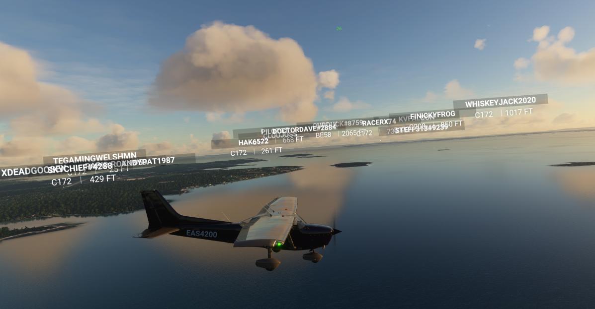

Hope to see you in our EasternHops Sky's

